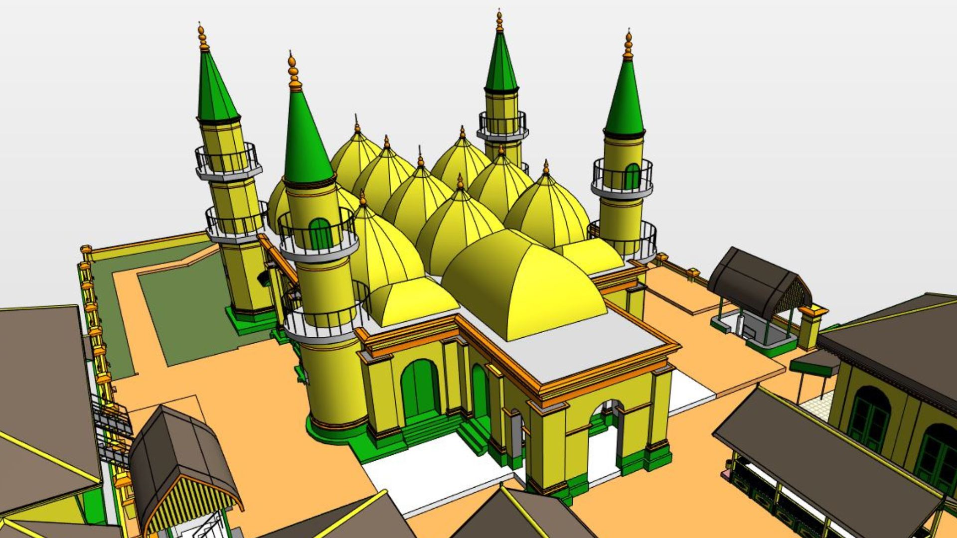
Mapping with 3D Laser Scanning has become an important part of the project Building Information Modeling (BIM), especially in sectors Architecture, Engineering and Construction (AEC). BIM technology allows every piece of information in a project, such as design, structure and maintenance, to be simulated in the form of a three-dimensional model. To produce a BIM model that is accurate and reflects real conditions, precise data is needed, one of which can be obtained through 3D Laser Scanning.
Benefits of 3D Laser Scanning in BIM Work
The use of 3D Laser Scanning provides various benefits for BIM projects, resulting in increased efficiency and accuracy. Here are the main benefits of this mapping:

1. Maximum Data Accuracy
By using TLS (Terrestrial Laser Scanning), the project can obtain data pointclouds which are very precise. This data includes every detail of the scanned area, including building structure and topography. This accuracy is critical, especially in infrastructure projects, where small errors can have a major impact on the construction process.
2. Time and Cost Efficiency
The use of this technology speeds up the data collection process in the field and reduces dependence on manual methods. Operators can perform scanning in a short time, and the results can be immediately processed for design or analysis purposes. This time efficiency has a direct impact on project cost savings.
3. Realistic and Collaborative Visualization
The results of TLS mapping can be processed into video walkthrough and interactive 3D models. This visualization facilitates collaboration between teams, including architects, contractors, and project managers. All parties can see the condition of the project area clearly and provide input effectively.
4. Support Technical Documentation and Maintenance
Data obtained from TLS can be used to create detailed technical documentation, such as infrastructure maps and technical reports. Apart from that, the 3D model created also helps in the process of maintaining assets in the future, because all information related to the structure has been properly stored.
Terms of Use of 3D Laser Scanning in BIM
In order to use 3D Laser Scanning effectively and produce quality data, there are several conditions that need to be met:
1. TLS Device with Industry Standards
The use of TLS tools with specifications according to industry standards is an absolute requirement. The tools used must be able to operate in various environmental conditions and produce accurate data.
2. Experienced and Trained Operators
TLS operation requires special skills. Operators must understand how the equipment works and the calibration process, and have the ability to process pointcloud data so that the results obtained meet BIM requirements.
3. Integration with BIM Software
The pointclouds generated from scanning should be able to be integrated with BIM software such as Autodesk Revit or Bentley Systems. This ensures that the data obtained can be directly processed in the model and supports faster decision making.
4. Proper Data Calibration and Validation
The data obtained must go through a calibration and validation process to ensure accuracy. Errors at this stage can affect the quality of the BIM model and cause problems in the construction phase.
Final Product of 3D Laser Scanning Mapping
The main product of 3D Laser Scanning mapping is: pointclouds, which is a collection of coordinate points that represent the project area in high detail. Apart from pointclouds, there are several other end products that can be produced:
- Video Walkthrough: Provides a real-time view that makes it easier for stakeholders to understand the project better.
- Mesh and Contour: Describes the topography and structure of the building in detail.
- Data Classification: Pointclouds data can be grouped by scanned objects, such as buildings, vegetation, and infrastructure.
These products facilitate further analysis and can be used for a variety of technical purposes, such as redesign, inspection or building maintenance.
Conclusion
Usage 3D Laser Scanning in BIM projects provides many advantages, especially in terms of accuracy and efficiency. With this technology, field data can be collected quickly and processed into 3D models that support the design, construction and maintenance processes. The main conditions for the successful implementation of this technology are the use of quality equipment, trained operators, and integration with appropriate BIM software.
3D Laser Scanning technology allows every party involved in a project to work more effectively and collaboratively, making it an ideal solution for the modern construction industry.
